ArcGIS geospatial platform

Enterprise-grade technology
ArcGIS provides robust, scalable GIS capabilities that support complex spatial data analysis, real-time data streaming, and integration with enterprise systems like ERP, CRM, and cloud platforms. It offers advanced security, high availability, and centralized data governance, making it ideal for mission-critical operations across industries such as government, utilities, and logistics.

Comprehensive capabilities
ArcGIS provides comprehensive geospatial capabilities for mapping, spatial analysis, and data management across desktop, web, and mobile platforms. It supports a wide range of data types and formats, enabling users to visualize, analyze, and share spatial information seamlessly across organizations.
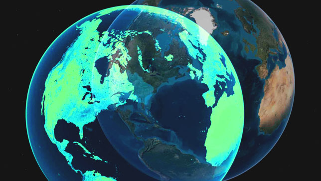
Geospatial AI platform
ArcGIS integrates spatial analytics with machine learning and deep learning to extract insights from geographic data. It enables users to perform tasks like object detection, predictive modeling, and pattern recognition using AI-powered tools within a spatial context. This fusion of AI and GIS supports smarter decision-making in areas such as urban planning, disaster response, and environmental monitoring.
Enterprise-grade technology
ArcGIS provides robust, scalable GIS capabilities that support complex spatial data analysis, real-time data streaming, and integration with enterprise systems like ERP, CRM, and cloud platforms. It offers advanced security, high availability, and centralized data governance, making it ideal for mission-critical operations across industries such as government, utilities, and logistics.
Comprehensive capabilities
ArcGIS provides comprehensive geospatial capabilities for mapping, spatial analysis, and data management across desktop, web, and mobile platforms. It supports a wide range of data types and formats, enabling users to visualize, analyze, and share spatial information seamlessly across organizations.
Geospatial AI platform
ArcGIS integrates spatial analytics with machine learning and deep learning to extract insights from geographic data. It enables users to perform tasks like object detection, predictive modeling, and pattern recognition using AI-powered tools within a spatial context. This fusion of AI and GIS supports smarter decision-making in areas such as urban planning, disaster response, and environmental monitoring.
The architecture of ArcGIS
